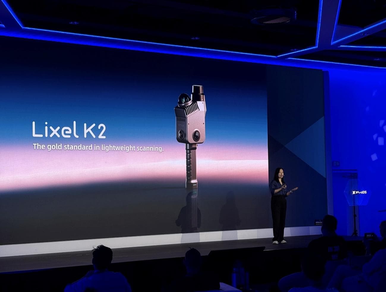
Lixel K2 Makes World Debut at 3DISE 2026 as XGRIDS Returns as Platinum Partner
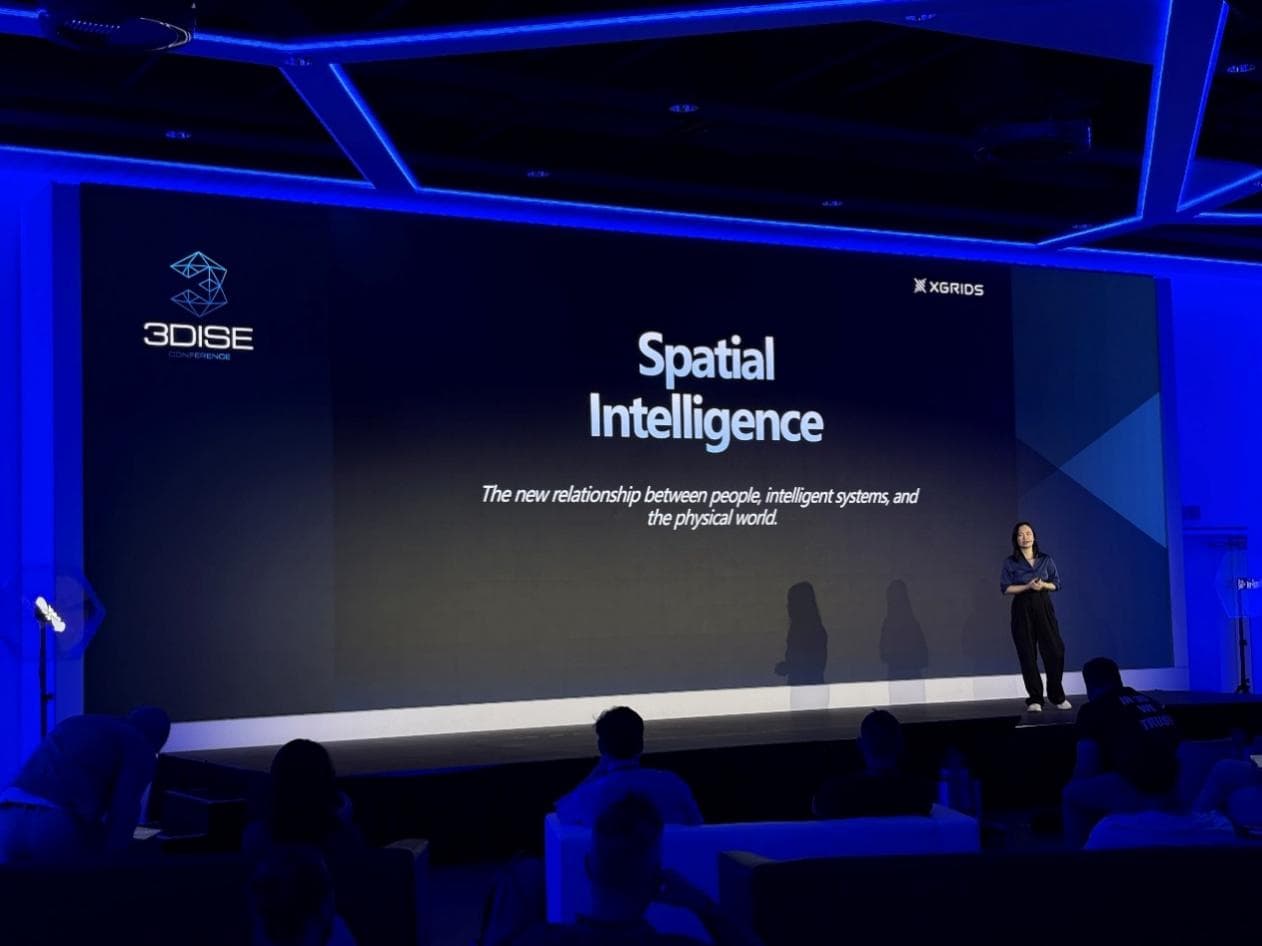
On May 5th and 6th, XGRIDS returned to 3DISE 2026—Europe's leading event for reality capture and spatial computing—as Platinum Partner, continuing to drive innovation across the spatial intelligence ecosystem.
Lixel K2: World Public Live Debut
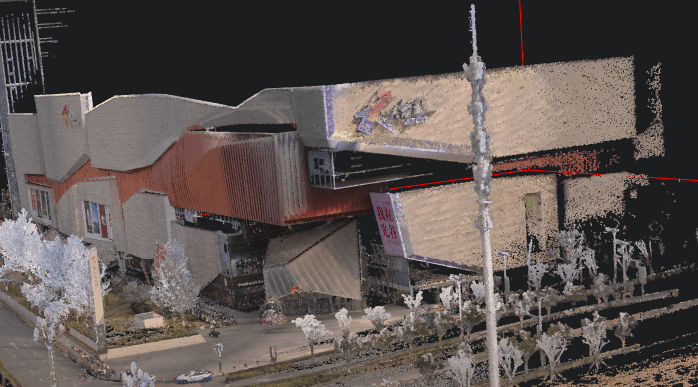
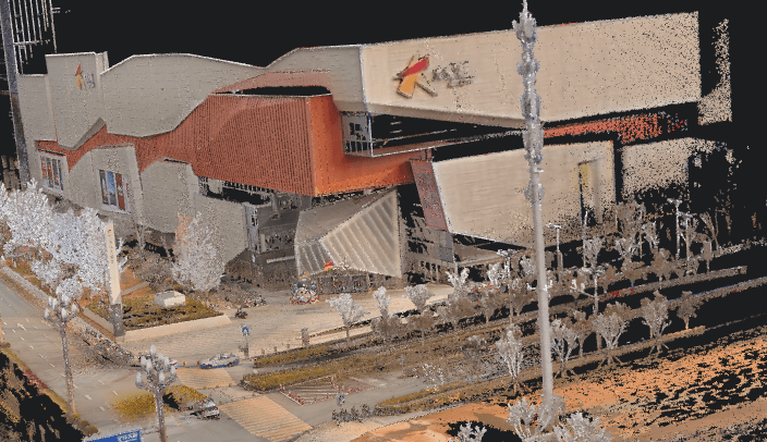
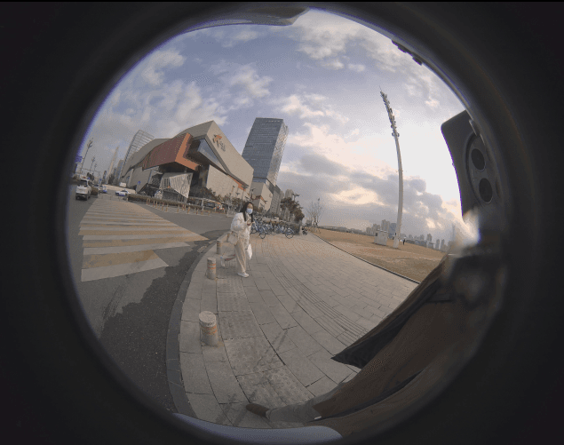
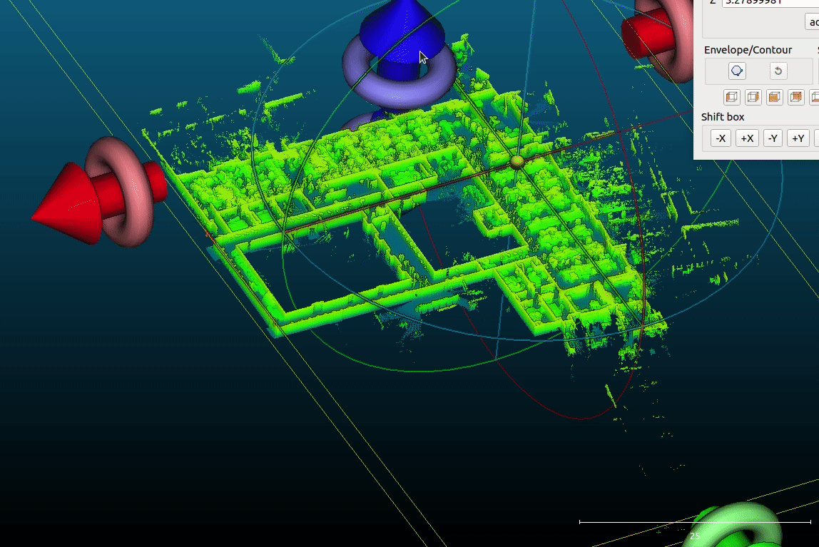
At this year's show, XGRIDS delivered the first public live debut of Lixel K2—a lightweight, fully integrated spatial scanner that delivers enhanced point cloud quality with real-time colorization, built-in RTK, and engineering-grade accuracy at an accessible price point.
A Complete End-to-End Software Ecosystem
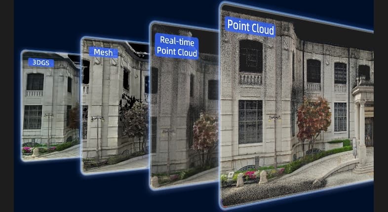
As a robust scanning solution, Lixel K2 delivered clean and accurate spatial data for seamless integration with diverse project workflows: engineering surveying, cultural heritage, stockpile volumetrics, real estate documentation, VR/AR, BIM&AEC and infrastructure inspection. Through a complete end-to-end software ecosystem, users can easily obtain point clouds, lightweight 3D Gaussian Splatting, high-resolution imagery and 3D meshes.
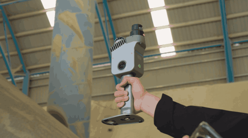
Professional-Grade Scanning in Your Hands
The lightweight spatial scanner K2 is designed to bring professional-grade reality capture into everyday workflows. Weighing under 1 kg, K2 combines real-time colourised point clouds, built-in RTK positioning, and engineering-level accuracy in a compact, field-ready device. With instant visual feedback during scanning and a complete software ecosystem from capture to delivery, K2 significantly reduces turnaround time while improving reliability on site.

LixelStudio 4.0: Point Cloud Processing Reaches New Heights
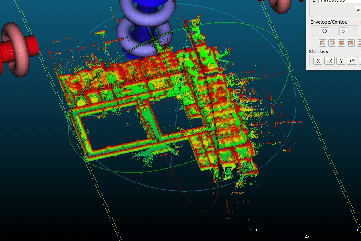
Alongside the K2 debut, XGRIDS announced the latest update to LixelStudio 4.0, bringing a host of refinements that pushed point cloud processing to new heights. The release introduced improved alignment and leveling for greater spatial precision, alongside significantly cleaner point clouds achieved through reduced noise and minimized artifacts. Users benefited from enhanced color accuracy and consistency, delivering truer-to-life visual results. Mesh reconstruction became more stable and reliable, while the overall processing pipeline was redesigned to feel more intuitive and efficient.
True-to-life visual results: Enhanced color accuracy and consistency
LS 3.6
LS 4.0
Original Image
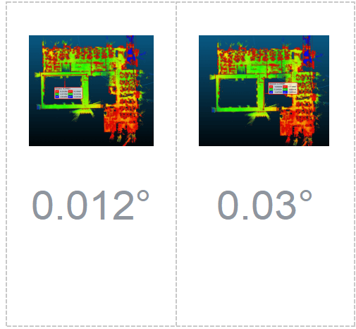
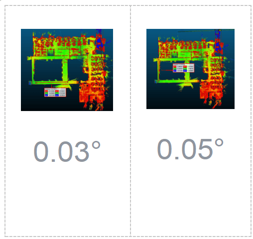
Greater spatial accuracy: optimised alignment and calibration functions
LS 3.6
LS 4.0
Clearer point clouds: reduced noise and fewer artefacts
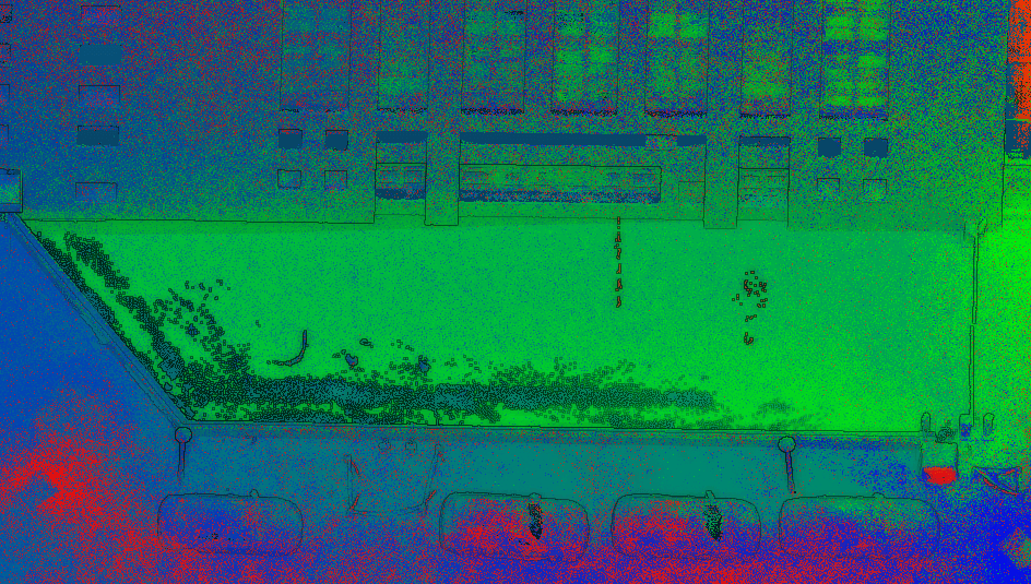
LS 3.6 (glass)
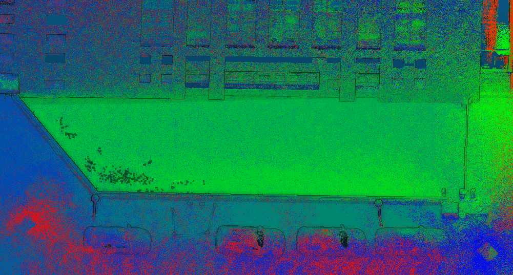
LS 4.0 (glass)
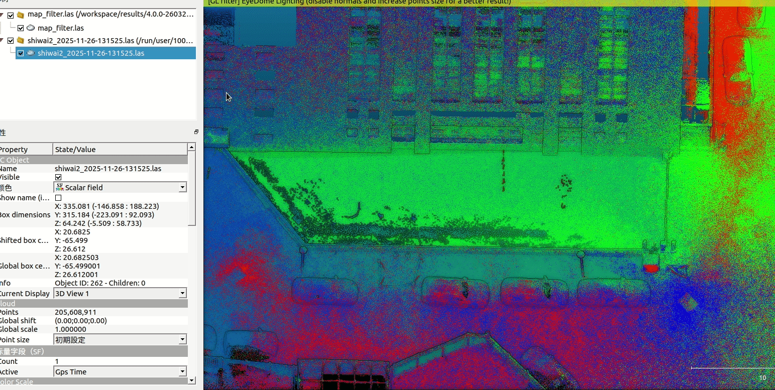
Comparison
Advancing the Frontier of Spatial Intelligence
XGRIDS continues to push the boundaries of spatial intelligence technology, reaching new heights with every step. Each milestone is a testament to XGRIDS's commitment to making high-precision spatial scanning more powerful, more reliable, and more accessible than ever before. As demand for richer spatial data continues to grow across industries — from surveying and construction to media and immersive experience — XGRIDS is fully prepared to meet that future.